
Trysilfjellet 1132 – from Skihytta
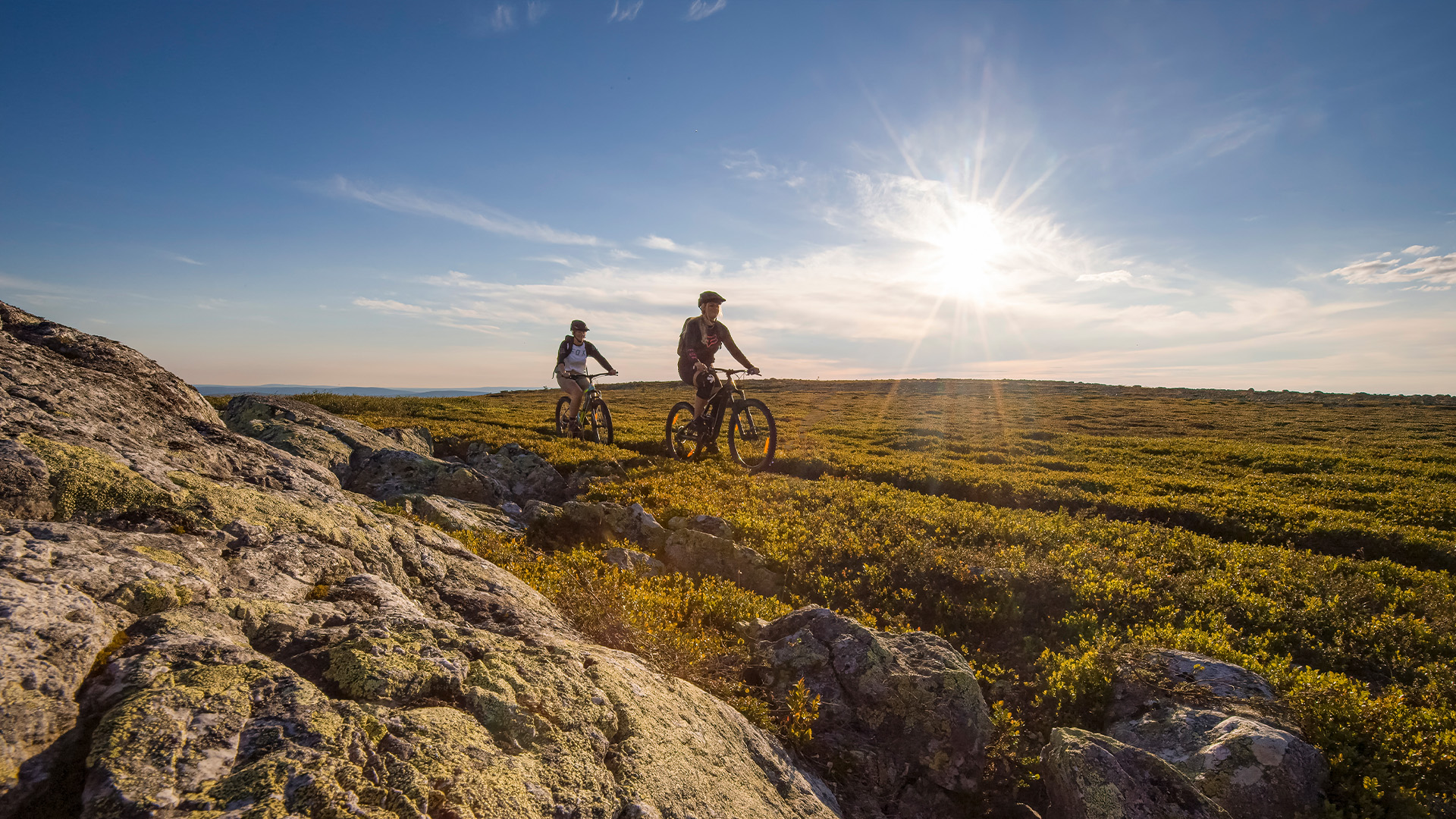
Take the shorter and steeper route to the highest point of Trysilfjellet from Skihytta. The hike climbs from the south side of the mountain and is ideal if you want a clear summit hike with elevation gain, mountain trail and great views from Brannvakthytta at 1132 metres above sea level.
The hike to Trysilfjellet 1132 from Skihytta is a more direct route to the mountain’s highest point. It is shorter than the route from Fageråsen, but also steeper, and suits those who want a clear summit hike with elevation gain and views as the reward.
From Skihytta to the summit
The hike starts at Skihytta and climbs the south side of Trysilfjellet. The surface varies between mountain trail, rocky sections and uneven terrain, especially closer to the summit. Good hiking shoes or mountain boots are recommended.
You can also start with Fjellekspressen from Turistsenteret. Take the lift up the mountain, follow Fjellrunden for a short distance to Skihytta and continue towards the summit from there.
Brannvakthytta and the summit of Trysilfjellet
At the summit, you reach Brannvakthytta, located close to the cairn that marks the highest point of Trysilfjellet, 1132 metres above sea level. The cabin is a well-known hiking destination in Trysil and stands on the same site as the old fire lookout cabin, which was originally used to keep watch over the woodland areas around the mountain.
From the summit, you get wide views across Trysil and the surrounding mountain areas. On clear days, you can see towards Rondane and Sølen to the north, Osensjøen to the west and far into Sweden to the east.
A shorter and steeper summit hike
The route from Skihytta is a good choice if you want a shorter and more direct hike to the summit. It has more elevation gain over fewer kilometres than Trysilfjellet 1132 from Fageråsen, so allow enough time, consider the weather and ground conditions, and choose footwear suitable for rocky and uneven terrain.
Om Trysilfjellet 1132 fra Skihytta
-
Blue (easy)
-
Lift access
-
3,8 km
-
310 m
-
approx. 2 hours
-
Out and back