
Fjellrunden – hike around Trysilfjellet
Walk all the way around Trysilfjellet on a varied circular route with gravel roads, mountain trail, open marshland and a true mountain feel. Fjellrunden can be started from several places, but Skihytta and Høyfjellssenteret are the most natural starting points.
Fjellrunden is a long and varied hike around Trysilfjellet, with a great mountain feel and several good viewpoints along the way. The route is ideal if you want a longer circular walk in easy to moderate terrain, without the steepest climbs.
The route is roughly the same as the one used for Trysil Trail this summer, and works well both as a hike and a run if you want to make your way around the whole mountain.
Surface and terrain
The surface varies between wide gravel roads, easier mountain trail and short sections with boardwalks and wooden decking. Between Høyfjellssenteret and Grønskaret, the route crosses open marshland on a wide and easy-going gravel road. Parts of this section are well adapted and easy to access.
Starting point and practical information
You can start Fjellrunden from several places around the mountain, but Skihytta and Høyfjellssenteret are the most natural starting points. Both offer easy access and parking, and you can get onto the route quickly.
Fjellekspressen can also be used as alternative access from Turistsenteret. Take the lift up the mountain and continue onto Fjellrunden from there.
Although the hike is not especially steep, it is 13.5 kilometres long and takes around four hours on foot. It is therefore best suited to those who are used to walking for a few hours in the mountains and want a complete circular route around Trysilfjellet.
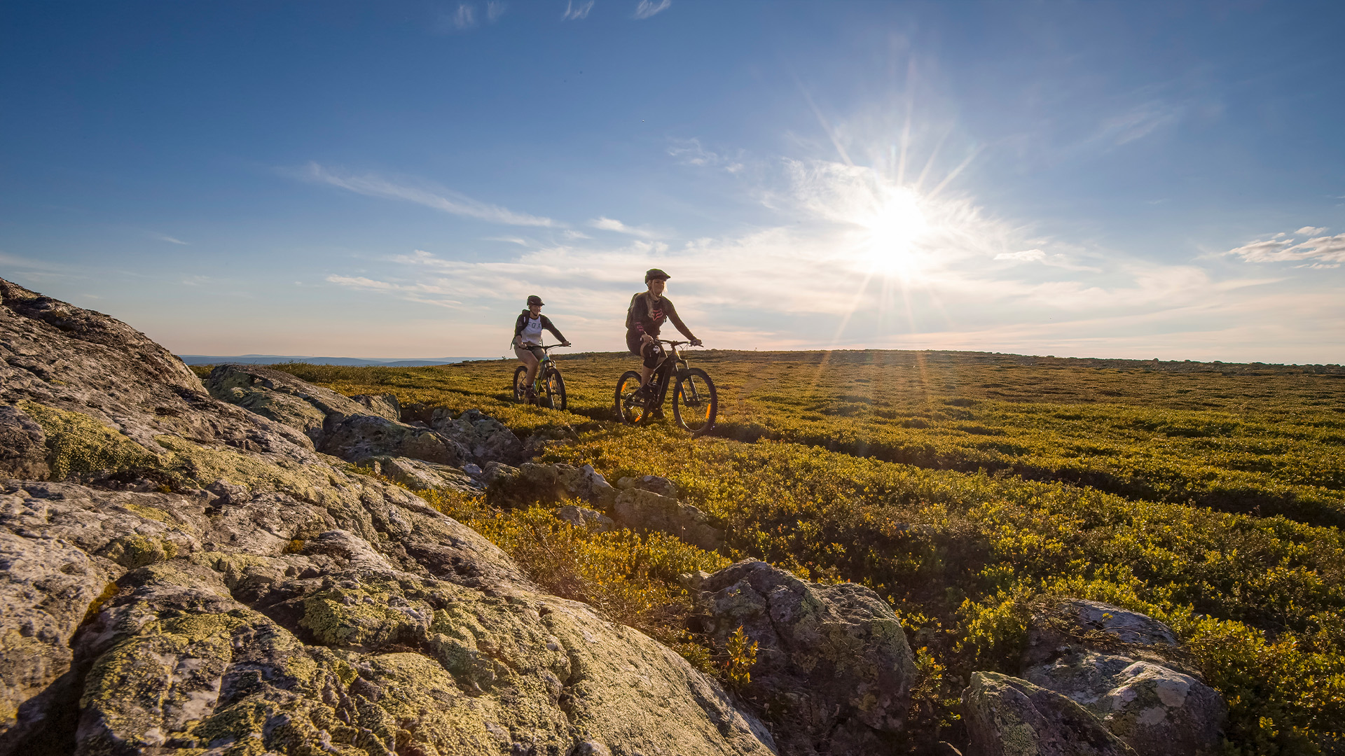
Fjellrunden by bike
Fjellrunden is also part of Fageråsen Trail Park. Parts of the route can be biked, and you can read more about how to bike Fjellrunden.
Om Fjellrunden
-
Blue (easy)
-
Lift access
-
13,5 km
-
approx. 4 hours
-
Circular route
-
Can be biked