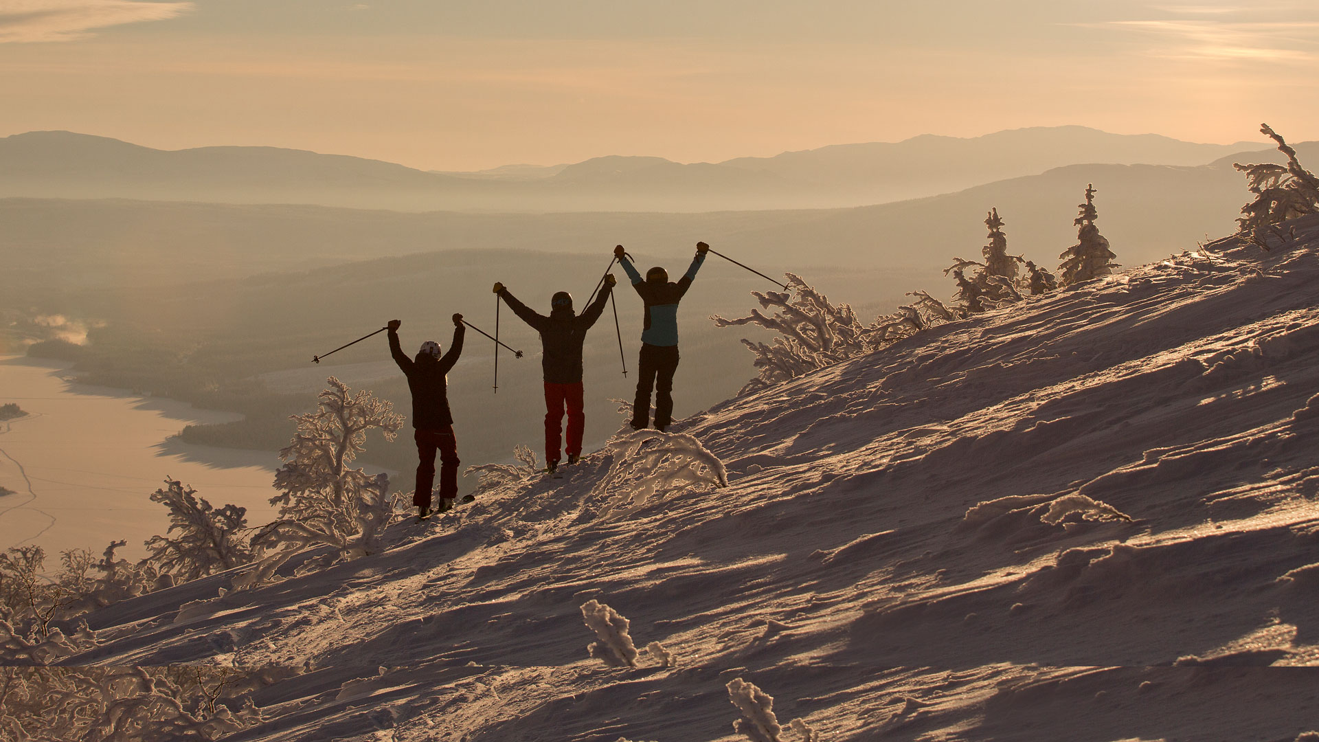
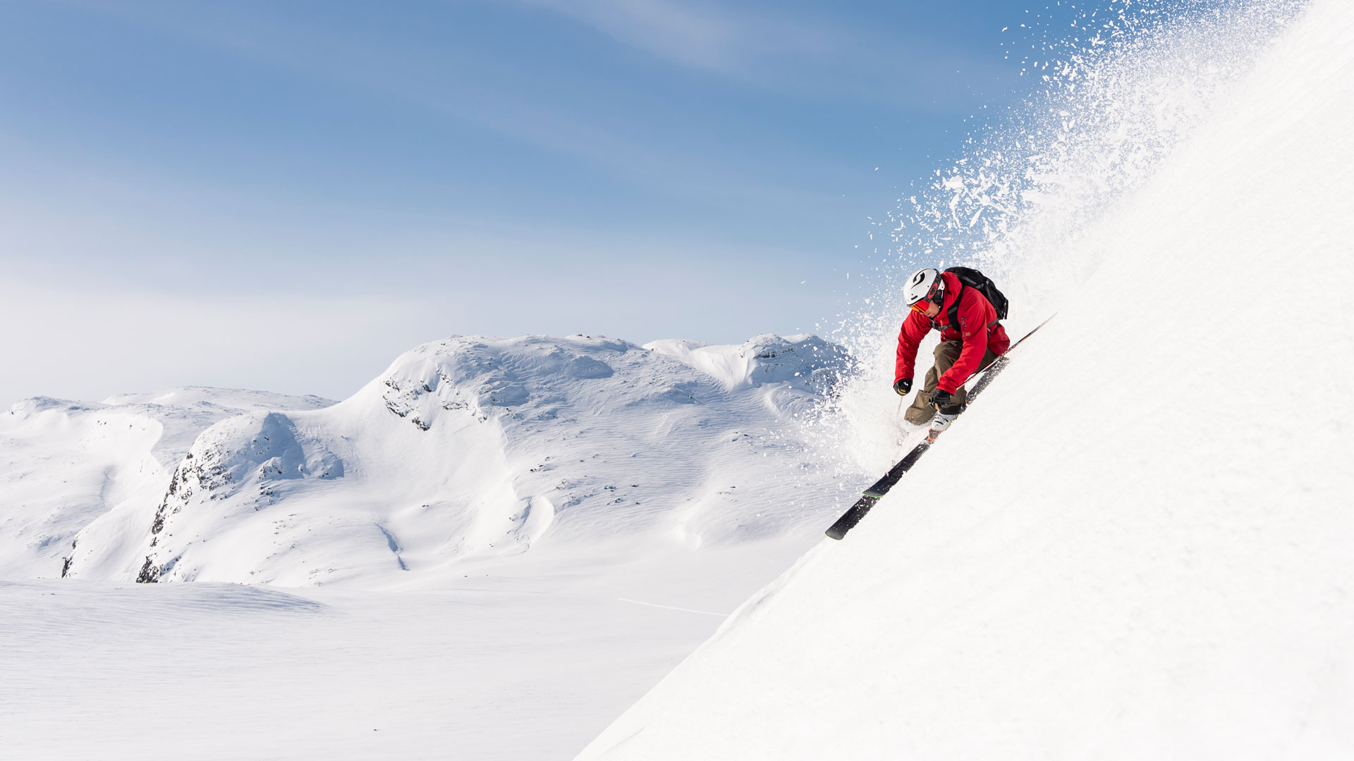

Ski Touring Trails in Åre
There are several ski touring options on and around Åreskutan. Make sure you only walk on marked trails and remember that a valid SkiPass is required to use the ski area, regardless of whether you're going uphill or downhill. Always check weather and avalanche information before heading out.
Åre By (Åre village)
Ullåleden
Open: 09:00 - 20:00
Height: approx. 600 m
Length: approx. 3800 m
The trail starts at the cross-country skiing trail in Ullådalen or at the Ullådalliften (Å14) lift station at the bottom of the valley. Walk Ullåmoon (31), continue along the Långsvängen high zone (35) to the Åre Top Plateau. During the times when the ski area is not open, you would use the same way to get down.
Ullåleden is already a classic during spring as many people choose this route to go up for a great ski ride in the afternoon/evening instead of going on the cross-country trails.
A great and beautiful trail for those who want to try out ski touring. The trail goes through beautiful mountain terrain and is easy for the first 300 metres of altitude. Then follows a steep and narrow section through Stendal’s Ravine, where we recommend to try to go as straight as possible by walking up to heel support 1 or 2. Stendalsravinen (Stendal’s Ravine) offers some challenges even for skiers that are on their way down. The rest of the trail has easy terrain.
Ski Touring Night
Open: Wednesdays, weeks 52-10, 18:00-20:00
Height: approx. 430 metres
Length: approx. 3,300 metres
The trail starts at the bottom of the VM8:an lift (Å22), alternatively at the E14 tunnel/Downhill run, in order to avoid heading in the direction through the tunnel during the Downhill/Gästrappet. Then walk Långsvängen Low Zone (34) to Rödkullen valley, turn right and continue along the Rödkulleleden (46) and onwards on Åreleden Low Zone (48) to the World Cup Plateau. PLEASE NOTE! These evenings the Gästrappet (57) is open as a downhill slope.
Arenaleden
Opening hours: daytime during the ski area's regular opening hours
Height: approx. 430 metres
Length: approx. 3,300 metres
The trail starts at the western side of the E14 tunnel/Störtloppet to avoid going towards skiing direction through the tunnel under Störtloppet/Gästrappet. Walk the Långsvängen low zone (34) to Rödkullen dal, turn right and continue along Rödkullevägen (46) and
onwards to the Åreleden low zone (48) to the World Cup Plateau.
A fairly simple and protected hike, but where the last 50 metres of altitude can be exposed to wind.
1000-metre trail
Opening hours: daytime during the ski area's regular opening hours
Height: approx. 382 metres
Length: approx. 2420 metres
The trail starts at the Hummelliftens mountain station (Å32) and goes along the Svartbergsleden (82) up to the 1000 metre plateau and onwards along the Fjällbacken (81) to the Åre Topp Platå.
PLEASE NOTE Remeber that the cable car's cables often have ice formation that can fall without warning.
Duved
Leråleden
Open: 09:00 - 20:00
Height: approx. 226 metres
Length: approx. 1000 metres
The trail starts at the Leråliften (D5), then continues on the lift trail to the top station of the lift.
As this trail follows the lift trail during the lift's opening hours, you must be able to go straight up on your heel support without having to hit and affect those who use the lift. You need to be an experienced Ski Touring skier to follow this trail. A trail with good wind protection. When the ski area is not open, descent is possibleonlyat Leråbacken (9).
From this trail you can continue up to Mullfjällstoppen(Axels led)in easy mountain terrain. Height approx. 370 metres, length approx. 2300 metres.
PLEASE NOTE Remember that you will reach serious avalanche terrain above the tree line. We recommend that you follow the same way back. A real glider that gives you leeway in the turns.
Tegefjäll
Tegeleden
Opening hours: daytime during the ski area's regular opening hours
Height: approx. 273 metres
Length: approx. 1265 metres
The trail starts at the valley station of the Tegefjällsliften lift (D9). Then walk Tegesvängen (15) to the Tegefjällsliften mountain station (D9).
The trail begins in sheltered forest terrain. It is sometimes steep with crests where you have to keep far out on the edge towards the forest (eastern side) and head straight up without having to hit the descent. The trail ends on the edge of the mountain with stunning views of the Åre valley.
Björnen
Björnenleden
Opening hours: daytime during the ski area's regular opening hours
Height: approx. 335 metres
Length: approx. 3350 metres
The trail starts at the bottom of the Björnenliften lift (B40). Follow Björnenleden (105) to
Tott berg (Å35) / Fjällgårdsexpress berg (Å34). PLEASE NOTE! After about 850 metres it intersects with Hermelinenbacken (111).
An easy and great trail for those who want to go at a calm pace and enjoy great company and great views.
Important to bear in mind
- You will need a valid SkiPass to use the ski area even when you walk up on prepared surfaces.
- Do not go wide during the lifts opening hours when you will encounter skiers coming toward you.
- Never make a detour from the trail, follow the signs.
- Avoid making bumps across the descent slope during lift opening hours.
- If you have to cross a descent slope, do it in places where you are well visible to others and have good visibility upwards in slope.
- Respect closed trails regardless of the time of day/evening.
- Please follow signs and information.
- In the evening - always take the same way down as when you went up unless stated otherwise. Always be prudent as snowmobile and piste machinery traffic will occur more frequently before and after the lifts' ordinary opening hours.
- The ski area includes a work area for snowmaking, preparation (piste & winch machines), avalanche safety work (blasting), transport of goods etc. It is therefore important that you adhere to the indicated trails both with regards to uphill as well as downhill and to respect when it is closed or when trails are temporarily rerouted. Visiting other parts of the ski area and its immediate vicinity is prohibited during periods when the area is not open for lift-based activities.
- It is prohibited to visit terrain within areas in which the resort is conducting
avalanche safety work (blasting) during times when the lifts are not open. (The area is where you can glide to and from a lift or descent). - Preparation with a piste machine may occur on the slopes during times when Ski Touring is permitted, we therefore urge you to ski calmly and with prudence and attention.
- It is not permitted to walk or descend on slopes other than those specified as
open. - If you walk on open trails when the lifts are closed due to weather, you can never deviate from the trail, neither on the way up nor on the way down.
- Remember to always check weather and avalanche forecasts and avalanche information.
- Do not walk or ride under the lift cables when you see that ice has formed. Ice may fall without warning.
Emergency phone number:
During lift opening hours +46 (0)647-130 91. During other hours: 112.